Date: 31/07 01/08/2017
From/To: Suleskard – Preikestolen Campground
Distance: 53 Km
Total Distance: 8992 Km
Weather: Warm, Sunny, Cold, Rain
Road: Paved
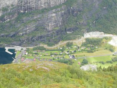
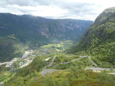
Weather forecast, rain, but with a window of two hours, again… Not sure where the weather forecast put these two hour windows but there is hope…. So at lunch the rain stopped and we set off. And this time we were lucky! Just as we arrived at the Kjerag, just before we descended down to the Lysebotn, the sun came out. Below you can see the town Lysebotn and the port on the left, and on the road on the right.
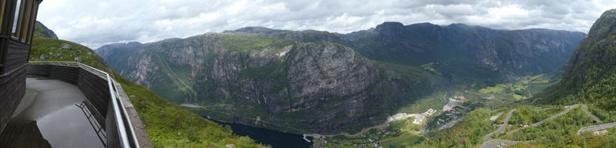
Below a panorama shot.
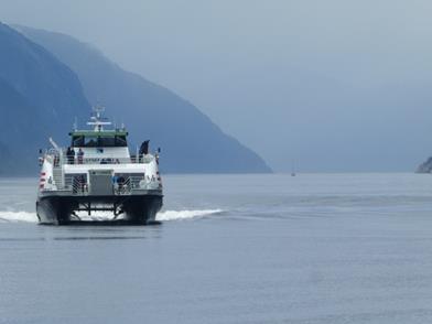
After we arrived at the bottom, the clouds came in and it started drizzle. It didn’t take long before the ferry arrived.
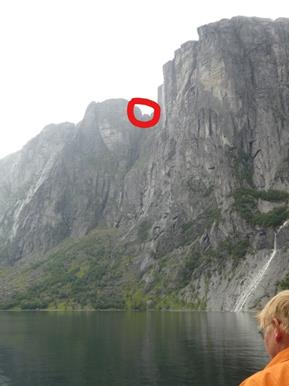
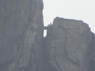
On the ferry we could see the Kjeragboltn from the botton, the left show it from the botton, the right a bit zoomed in.
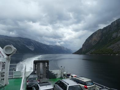
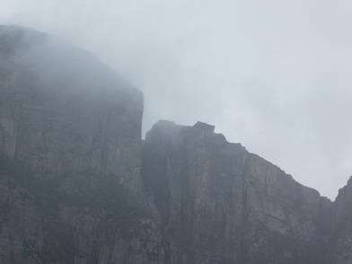
During the one hour trip, we could see our next target, the pulpit rock, it didn’t looked to big from the ferry. Tomorrow should be a day without rain, so we earmarked it for our trek.
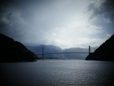
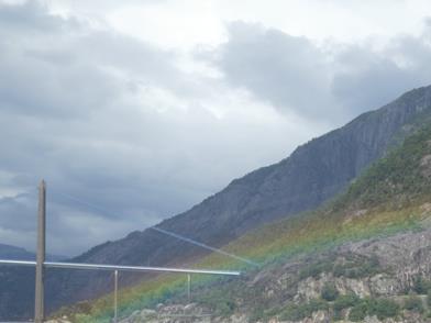
On our way to the destination port, Foresand, we crossed throug a bridge that looked like the golden gate bridge and I got it even with a rainbow.
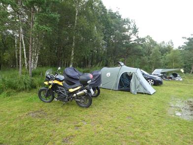
So we continued to the campground.
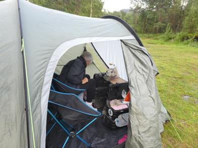
Since we would stay for a couple of days we camped. Finding a spot to pitch the tent proofed to be difficult, since most of the lawn was soggy. The right picture shows the camping table (design by Klaus), which did a fabulous job.
Tomorrow we will hike to Purple Rock or Preikestolen. We got some advice from the lady in the office re the best time and she suggested early morning.